Posté 05 juillet 2022 - 22:48
Quelques brefs commentaires. Le style du terminal inférieur semble atypique. Je pense qu'il s'agit peut-être d'une variante du terminal Gemini, qui n'est généralement pas de type trépied. De même, le dénivelé est le dénivelé officiel rapporté, mais il ne correspond pas aux élévations que Google Earth nous donne. Je pense que le domaine skiable exagère l'élévation d'environ 20 mètres.
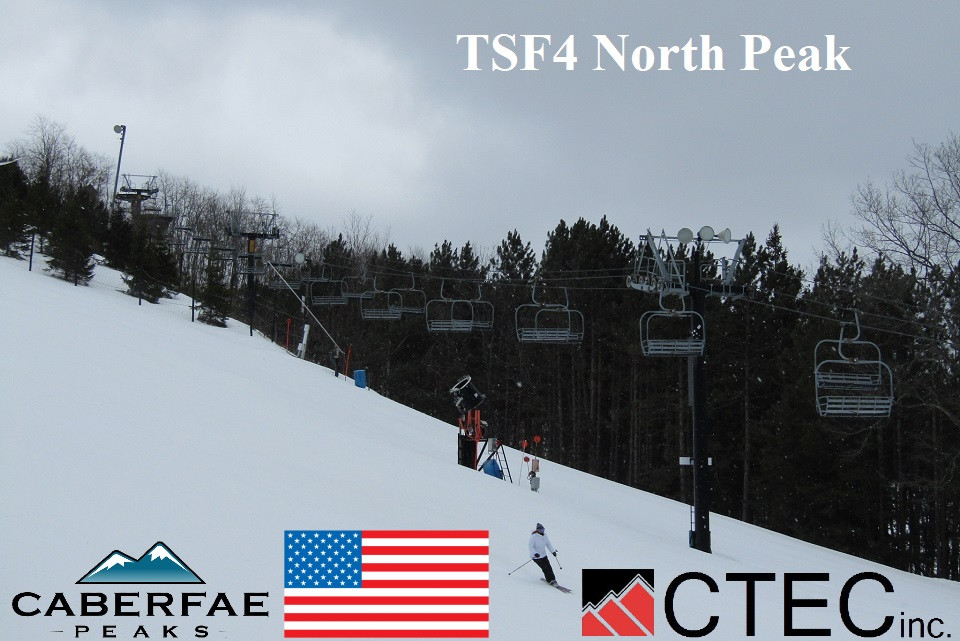
Couple of brief comments. The bottom terminal style seems atypical. I think it may be a variation of the Gemini terminal which is usually not tripod style. Also, the vertical drop is the official reported vertical drop, but this does not match the elevations Google Earth gives us. I think the ski area is exaggerating the elevation by about 20 meters.
Bien que ce ne soit pas idéal, je pense que cela vaut la peine d'ajouter des photos du terrain à la base de données, car il est peu probable que nous y retournions bientôt. Si quelqu'un a l'occasion de le monter dans le futur, il sera très rapide d'ajouter les nouvelles photos ! Le bon côté des choses, c'est qu'il est plus facile d'obtenir de meilleures photos en gros plan du bas et du haut.
Although not ideal, I think it is worth adding photos from the ground to the database, as it is unlikely we will be back again soon. If someone gets to ride it in the future, it will be very quick to add the new photos in! On the bright side, it is easier to get better close-up photos of the bottom and top.
Je m'excuse si ma grammaire est incorrecte. J'utilise un traducteur informatique.


 Aide
Aide
 cwcwcw

